RasterLite2 Index
This is a collection of RasterLite2 specific spatialite issues
- which will, very soon, be supported by
geopaparazzi
--> 'List of Database-Designing'
--> 'List of Geopaparazzi Specific Themes'
--> 'Index Page for SpatialView'
--> 'Index Page for GeoPackage'
-
Commands: (Note 20150611: this is outdated due to changes in the api)
-
Database creation and filling with Sql-Scripts:- with
SPATIALITE_SECURITY=relaxed-
linux Bash-Script -
windows Command-Script-
'possible Command Script to call a Sql-Script'
- I have no idea if this is the correct way to do this
-
'possible Command Script to call a Sql-Script'
-
Sql-Scripts* 'Sql-Script to load a Geo-Referenced Image [OUTDATED]' -
Database Designing
-
- with
-
Rasterlite2 Database with SpatialViews:
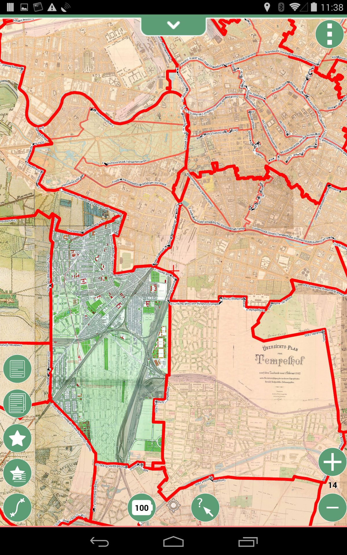
- this is an image of a collection of historical Berlin Maps around 1910 with
- District (Stadtteile) borders of 1912
- thin red lines
- District (Ortsteile) borders of 1920 after the founding of
Greater Berlin1920-10-01- thick red lines
- District (Stadtteile) borders of 1912
2015-07-28: Mark Johnson, Berlin Germany