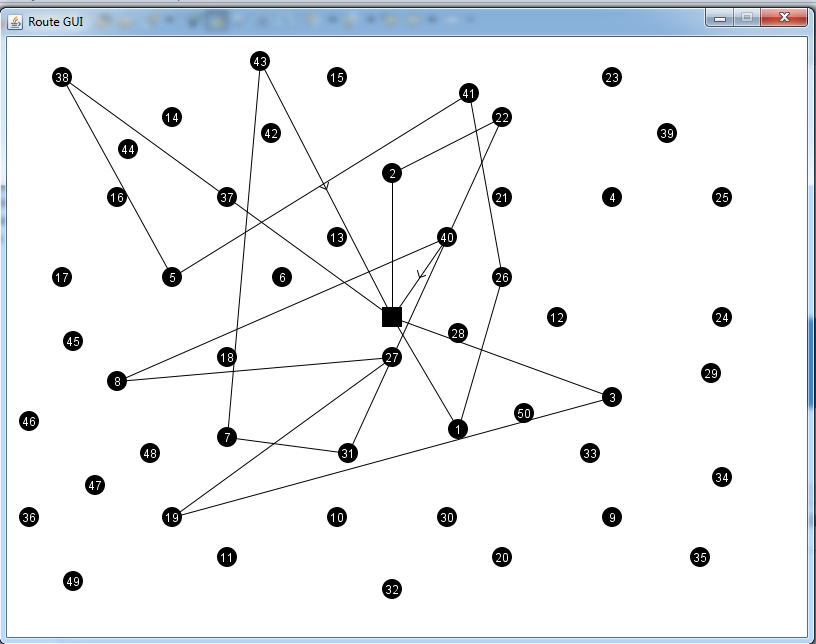
This is a Java application for visualizing the industrial engineering routing problems.
I used this GUI drawer for Industrial Engineering project. This is a perfect visualizer for travel sales problems or some kind of depot-ending routing problems.
You should give coordinates as a data.txt file
example data.txt
51 // First line is number of nodes included depot
35 35 // Depot coordinate
41 49 // node1
35 17 // node2
55 45 // node3
55 20 // node4
15 30 // node5
25 30 // node6
20 50 // node7
10 43 // node8
55 60 // node9
20 65 // node10
You should give routes as a ArrayList.
Example route:
	ArrayList route2 = new ArrayList();
	route2.add(1);
	route2.add(26);
	route2.add(41);
	route2.add(5);
	route2.add(38);
	routes[1] = route2;
Structure of route :
route[1] = { 1 , 26 , 41 , 5 , 38 }
A vehicle starts route from depot then firstly go node 1 then 26 then 41 then 5 then 38 at the end from 38 it comes back to depot.So route[0] means 0 -> 1 -> 26 -> 41 -> 5 -> 38 -> 0
You shouls define maximum X value of the coordinates and maximum Y values in the coordinates to fit coordinates and routes to plane.
In the MainPanel.java file :
private int MX = 70; // Maximum X value in the coordinates
private int MY = 70; // Maximum Y value in the coordinate
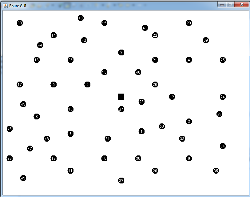
Screenshots: