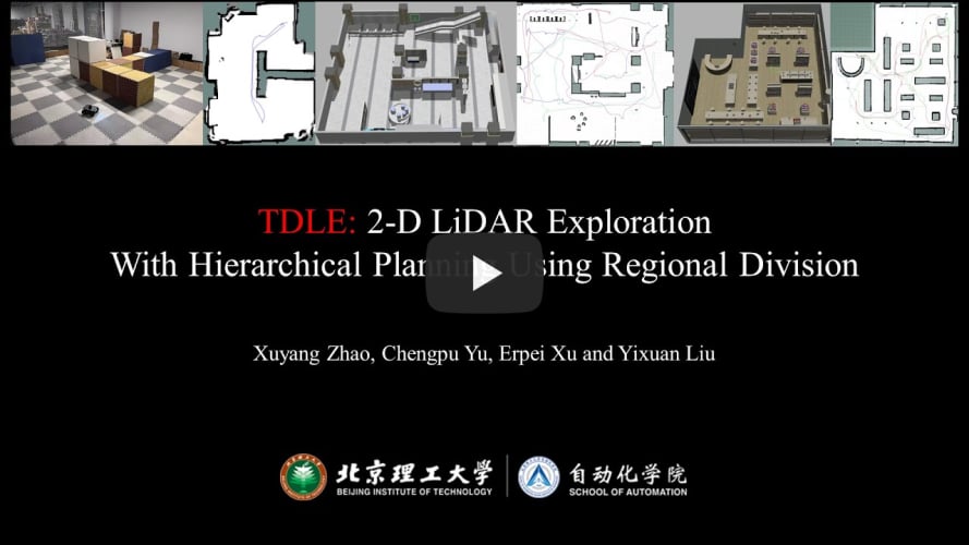
[The corresponding paper TDLE: 2D Lidar Exploration with Hierarchical Planning Using Regional Division has been accepted by IEEE CASE 2023.]
Demonstration Video:
The frontier detection module is adapted from Hasauino's rrt_exploration (sincere thanks for his work), with series of improvements, including:
-
Refactored the entire code for clearer logic and efficient implementation;
-
Set sampling boundary automatically;
-
Dynamically adjust the number of nodes in the global tree.
The hierarchical exploration planning module is the core component of this framework.
In the first phase, the planning space is divided into several subregions. After that, subregions with frontier points inside or mostly unknown are selected. The selected subregions are then sorted to provide global guidance for exploration.
In the second phase, the subregions are visited one by one in the order determined in the first phase. In each subregion, various indicators, including global compatibility, information gain, and motion consistency, are calculated. Robot selects the exploration target with the highest comprehensive revenue.

We tried to minimize the unnecessary use of third-party libraries (like OpenCV, tf, etc). Simple external functions were implemented manually.
-
ROS Environment
Make sure you have ROS environment properly installed. This project has been tested on several devices under ROS-Melodic and ROS-Noetic. (
Desktop-Fullversion is recommended) -
Local Planner
Currently, TDLE uses
TEBas its local planner by default. Install it with:sudo apt install ros-noetic-navigation sudo apt install ros-noetic-teb-local-plannerAt the same time,
DWA, which is already included inros-noetic-navigation, can also be used as the local planner. You can change theplanner_nameparameter intdle_sim.launch. -
Cartographer_ROS
TDLE uses cartographer as its mapping module, with a few adaptions that make it suitable for exploration. Using this fork instead of the original repository.
In fact, TDLE supports any method that can generate an occupancy grid map with the message type
nav_msgs/OccupancyGrid. -
Gazebo Models (optional)
The model files required by
robot(turtlebot3-waffle)andsimulation scene(museum)can be found in gz_sim_models, which is organized as a catkin package. You can clone it into your workspace and build it withcatkin_make.If you want to use the
simulation scene(library), please download extra models, put them in your Gazebo model folder (usually~/.gazebo/models), and change theworld_nameparameter intdle_sim.launch.
-
For Gazebo Simulation
roslaunch tdle tdle_sim.launch -
For Field Test
roslaunch tdle tdle_real.launch